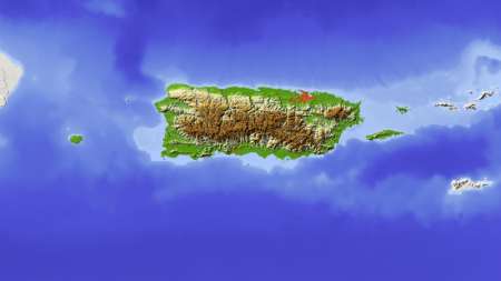
Esri has deployed the CrowdRescue Puerto Rico Infrastructure Map, which displays crowdsourced reports about damage from Hurricane Maria affecting the U.S. territory. The map enables a visualization of closed roads, collapsed bridges, flooding, mudslides, areas where communication is unavailable, areas that don’t have power, areas without drinking water, and areas with downed power lines. […]
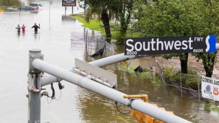
Direct Relief, a humanitarian organization that delivers medical supplies to crisis areas, uses Esri mapping technology and data to send resources to Houston during Hurricane Harvey. Direct Relief uses data layers from the Census, the National Weather Service, and other open data platforms to target where certain medical supplies such as inhalers and other medications will be needed. […]
Federal agencies that amass multitudes of data because of drone use have had to think about how to store and protect that data. Agencies that use drones are caught between following the regulations in place for aircraft and following the regulations for IT systems, since drones contain properties of both categories. […]
The Federal Aviation Administration has registered 690,000 unmanned aerial vehicles, or drones, since late 2015. This drone influx has created a new set of data management challenges, according to FAA officials. […]
The Partnership for Resilience and Preparedness (PREP) links Federal agencies, non-government organizations, and private sector companies in a collaborative effort to reduce data access barriers and create an open data platform for people to share climate information. […]
The Baton Rouge Department of Information Services on Aug. 19 created an interactive map to track damage as the Louisiana city dealt with disastrous flooding. Within hours, 10,000 people, including rescue teams, had used the map. […]
The U.S. Department of Health & Human Services Office of the Assistant Secretary for Preparedness and Response created a publicly available interactive map showing the number of Zika virus cases in each state.
The map, which uses GIS software from Esri, will help monitor the spread of the Zika virus across the United States and 34 other countries where cases have been reported.
[…]

